
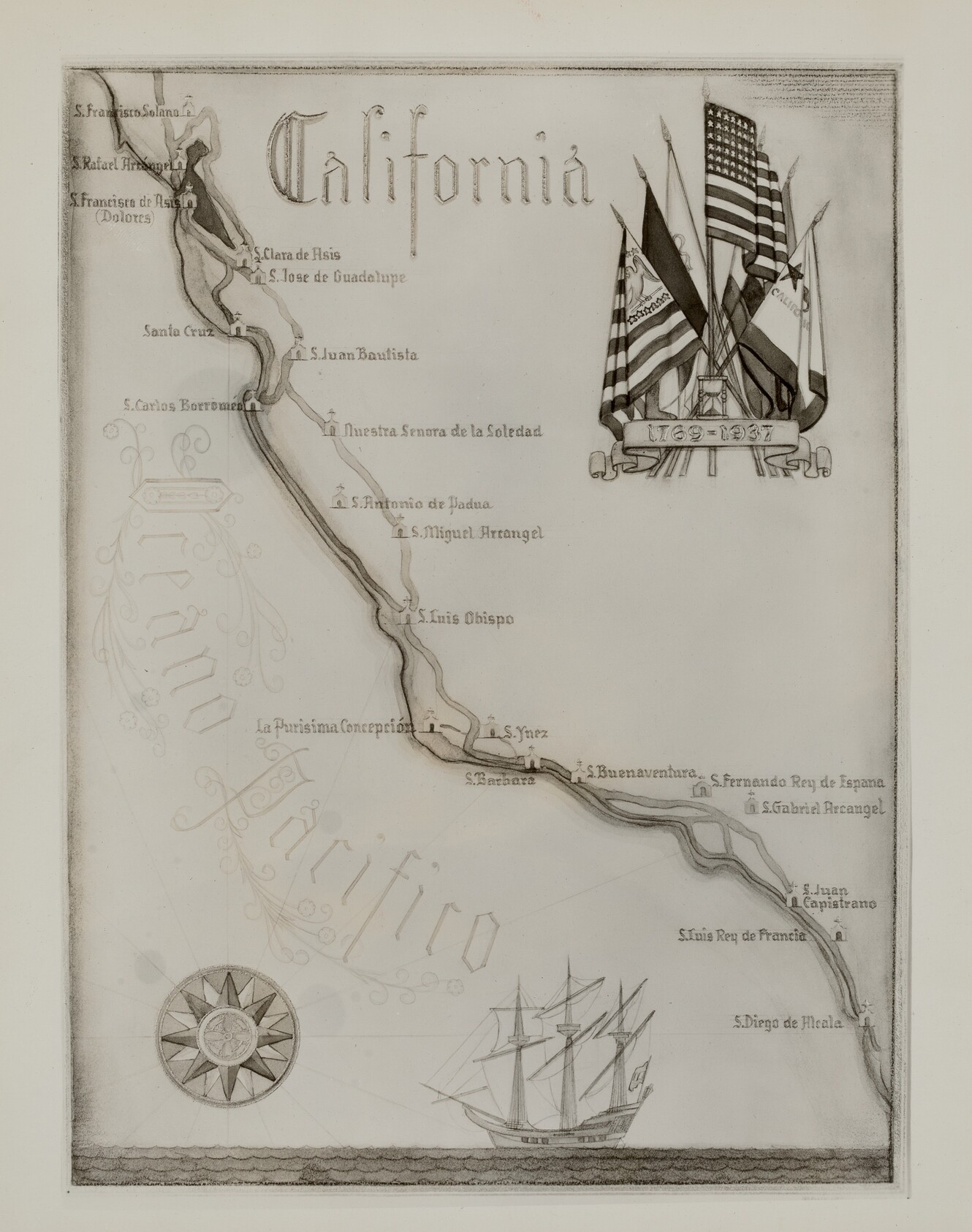
This is a drawing of a historical map of California and its coastline. It shows a section of the Pacific coastline with marked mission locations such as S. Francisco Solano and S. Diego de Alcala. Each location is labeled in classical script, pointing towards Spanish missions along the Californian trail. The map is oriented with a compass rose in the lower left corner. The coastline is illustrated with elements like a ship sailing the Pacific Ocean and various flags representing sovereignties that have claimed California, including the United States flag. The artwork's formal style suggests it is a commemorative or decorative piece, likely created to embody historical journeys along the Californian coast during earlier periods.
Artwork Details
- Date
- 1935/1942
- Medium
- black and white photograph
- Dimensions
- 3404 × 4316 px
- Public Domain
- Yes
- Museum Record
- View original