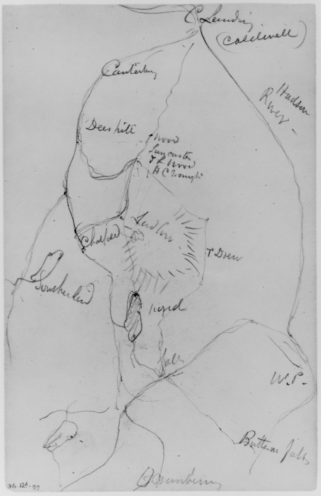
Map with hand drawn lines and place names written in cursive. The map is drawn in pencil on a gray background. The lines are irregular and appear to represent borders or boundaries. There are several words written in cursive throughout the map. The top right section has "Columburg (Castlewell)" and "P. Holden Ridge". The top left section has "Candleridge" and "Deer hill". The middle section has several words including "flood (may overflow) if rain", "T. Bren", and "liquid". The bottom section has "Bottom field", "W.P.", and "Ostendium". The map appears to be hand drawn and has a rough, sketchy quality. The overall appearance is that of a rough draft or a sketch. Map by Daniel Huntington.
Artwork Details
- Date
- ca. 1870
- Medium
- Graphite on paper
- Culture
- American
- Dimensions
- 404 × 624 px
- Public Domain
- Yes
- Museum Record
- View original
You May Also Like

Balance Rock, Pine Hill, Walton, 1871 (from Sketchbook)
Balance Rock, Pine Hill, Walton, 1871 (from Sketchbook)

Pine Cliff, Mohonk, 1871 (from Sketchbook)
Pine Cliff, Mohonk, 1871 (from Sketchbook)

Italian Sketchbook; Sail (page 70)

Under the Cliffs, 1871 (from Sketchbook)

Two Sketches of Trees (from Sketchbook)

Trees in Wood (from Sketchbook)

Rock Study (from Sketchbook)

Mohonk, 1871 (from Sketchbook)

Sketchbook, page 27: Detail Study for " On a Terrace" and Landscape Study

Trees (from Sketchbook)

Sketch of Madame Cézanne (verso)

Mount Athos, 1904 (from Sketchbook)
Mount Athos 1904 (from Sketchbook)

Italian Sketchbook: Abstract Sketch (page 5)

Juniper Lake Aug 23 1885, Mount Tacoma Washington (from Sketchbook X)

Sketchbook: Study of Cross and Rowboat (on back cover)

Sailboat on Lake; Figure on Shore, 1871 (from Sketchbook)
Sailboat on Lake; Figure on Shore, 1871 (from Sketchbook)

Landscape (from McGuire Scrapbook)

Mountain Sketch (from Sketchbook)

Italian Sketchbook: Gondola (page 110)

Italian Sketchbook: Sails (page 36)


