
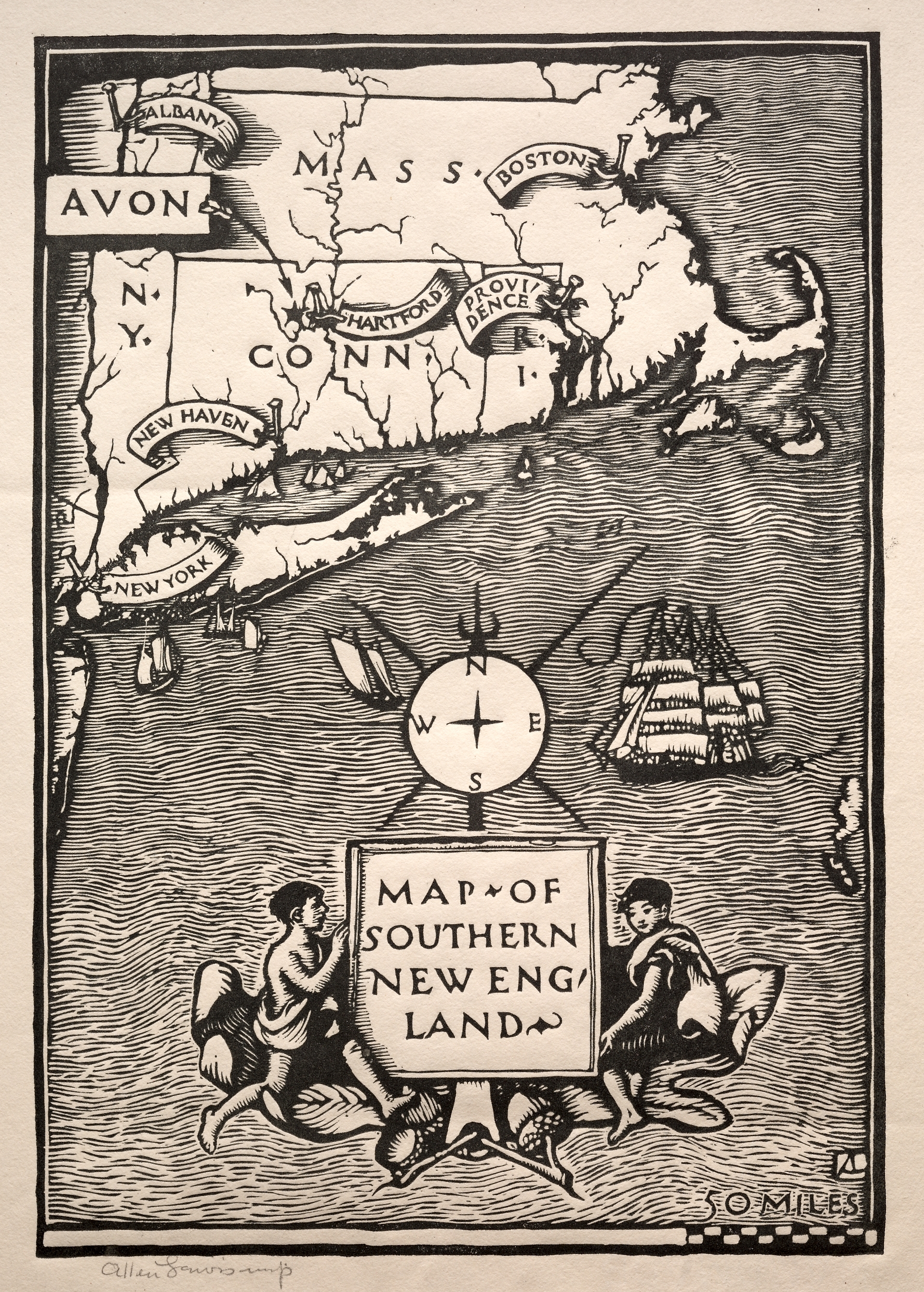
Black and white map of Southern New England on a beige background. The map is in the upper half, with Connecticut, Massachusetts, and part of New York. Labels on the map include "AVON", "ALBANY", "N.Y.", "NEW YORK", "NEW HAVEN", "HARTFORD", "SPRINGFIELD", "PROVIDENCE", and "BOSTON". A compass with a cross-shaped needle is in the center. A ship is on the right side. Two men hold a sign that reads "MAP OF SOUTHERN NEW ENGLAND" at the bottom. The map is signed "Allen Lewis" at the bottom left and "Somrs" at the bottom right.
Artwork details
- Dimensions:
- 639 × 893 px
- Museum record:
- View original
You May Also Like

The Siege of La Rochelle: Plate 11

The Siege of La Rochelle: Plate 10

Chart and Plan of the Harbour of New York

View of Venice

Celestial Map of the Southern Sky (Imagines coeli meridionales)

The Siege of La Rochelle: Plate 12

Map of the Battle of Sinope

View of Venice

A mapp of ye improved part of Pensilvania in America, divided into countyes, townships and lotts

Landscape with the conversion of saulus

Sampler

Der Schiffman (The Sailor)

The Manner of Transporting Wares on Barges Drawn by a Bellows

The Siege of La Rochelle: Plate 5

Sampler

Dance of Death: The Sailor
![View of Nuremberg from the East [left section]](/api/image?url=https%3A%2F%2Fapi.nga.gov%2Fiiif%2Ffcadae9e-bf87-4b71-8bbc-352d30cb315f%2Ffull%2F!843%2C843%2F0%2Fdefault.jpg&w=1536&q=75)
View of Nuremberg from the East [left section]

Bookplate: Robert Gorham Fuller, Ex Libris inscribed

Rebus: "No, Morny is not dead for he is marrying again"

Sailing Vessels: Armed Four-Master Putting Out to Sea

Plan du Combat de Sinope (Plan of the Battle of Sinope)

The Siege of La Rochelle: Plate 7

Madonna of the Hernleberg

Siege of a Fortress: Left Portion