
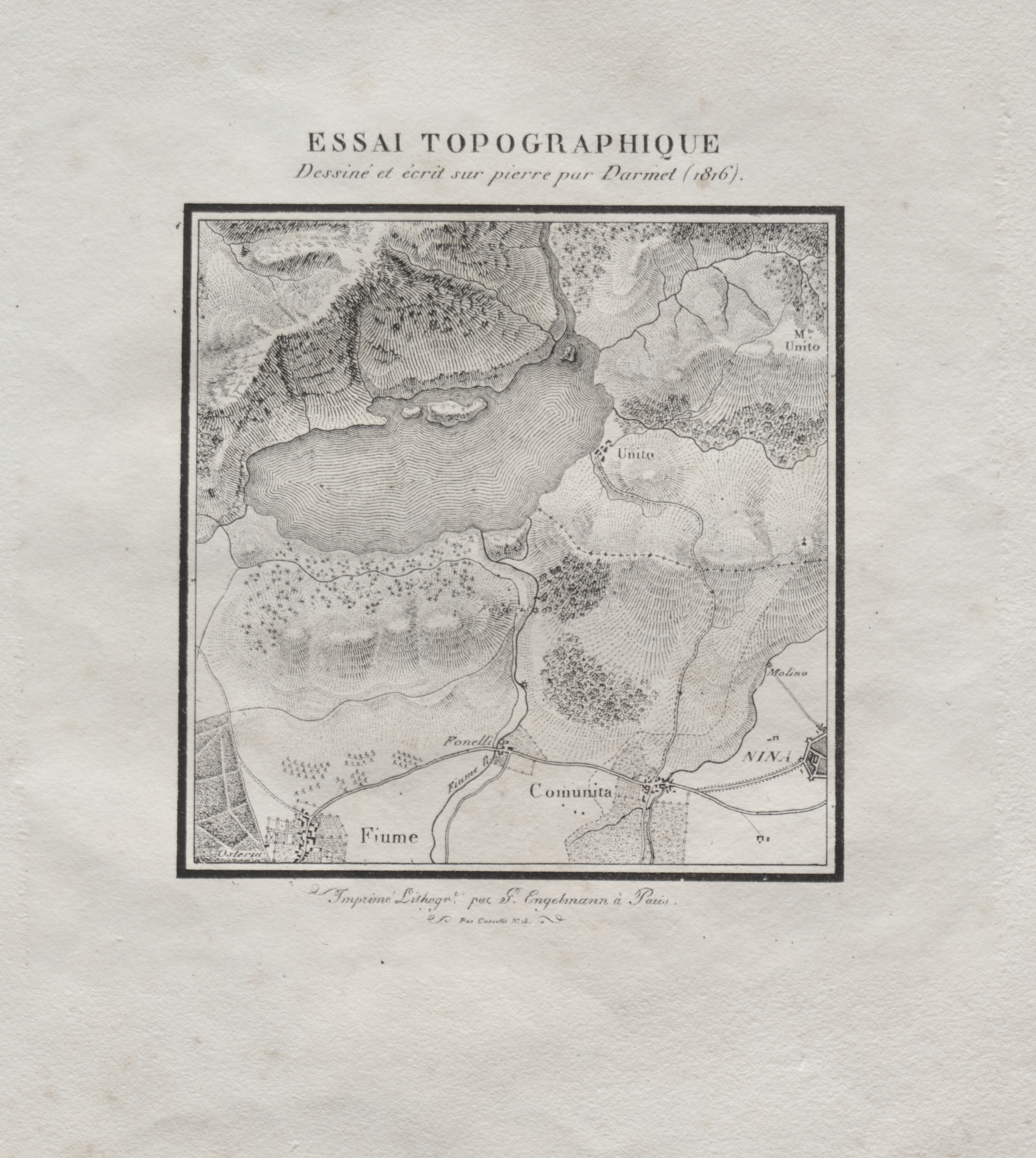
Black and white topographic map with a thin black border. The map is surrounded by white space with text above and below it. The title at the top reads "ESSAI TOPOGRAPHIQUE" in large letters, with smaller text below. The map displays various shades of gray, indicating different elevations. It features labels, including "Comunita" near the bottom center, "Fiume" at the bottom left, and "M. Unito" at the top. The map appears to be hand-drawn and includes various markings and symbols. The background of the image is off-white, with some discoloration and texture visible. The overall style suggests an antique or vintage map. The map is part of "Receuil d'essais lithographiques". The map was created by Darmet.
Artwork details
- Dimensions:
- 799 × 893 px
- Museum record:
- View original
You May Also Like

The Siege of La Rochelle: Plate 5

The Siege of La Rochelle: Plate 6

Map of the Battle of Sinope

View of Venice

The Siege of La Rochelle: Plate 11

View of Lewenberg

Saint James's Park

The Siege of La Rochelle: Plate 7

The Siege of La Rochelle: Plate 12

The Siege of La Rochelle: Plate 10

Plan du Combat de Sinope (Plan of the Battle of Sinope)

College Henri IV

Chart and Plan of the Harbour of New York

A Valley in Burgundy (Une Vallée en Bourgogne)

Landscape with a Lake

A Valley in Burgundy

Canal with an Angler and Two Swans

Egypt and Nubia, Volume III: Map to Illustrate the Sketches of David Roberts, Esq: R.A. in Egypt and Nubia 1849

English Views: Old Shoreham

Landscape with a Peasant Couple and Baby

Siege of a Fortress: Left Portion

Landscape with the Village of Schenkenschanz, Gelderland

Illustrations of Famous Places in China

After the Tornado