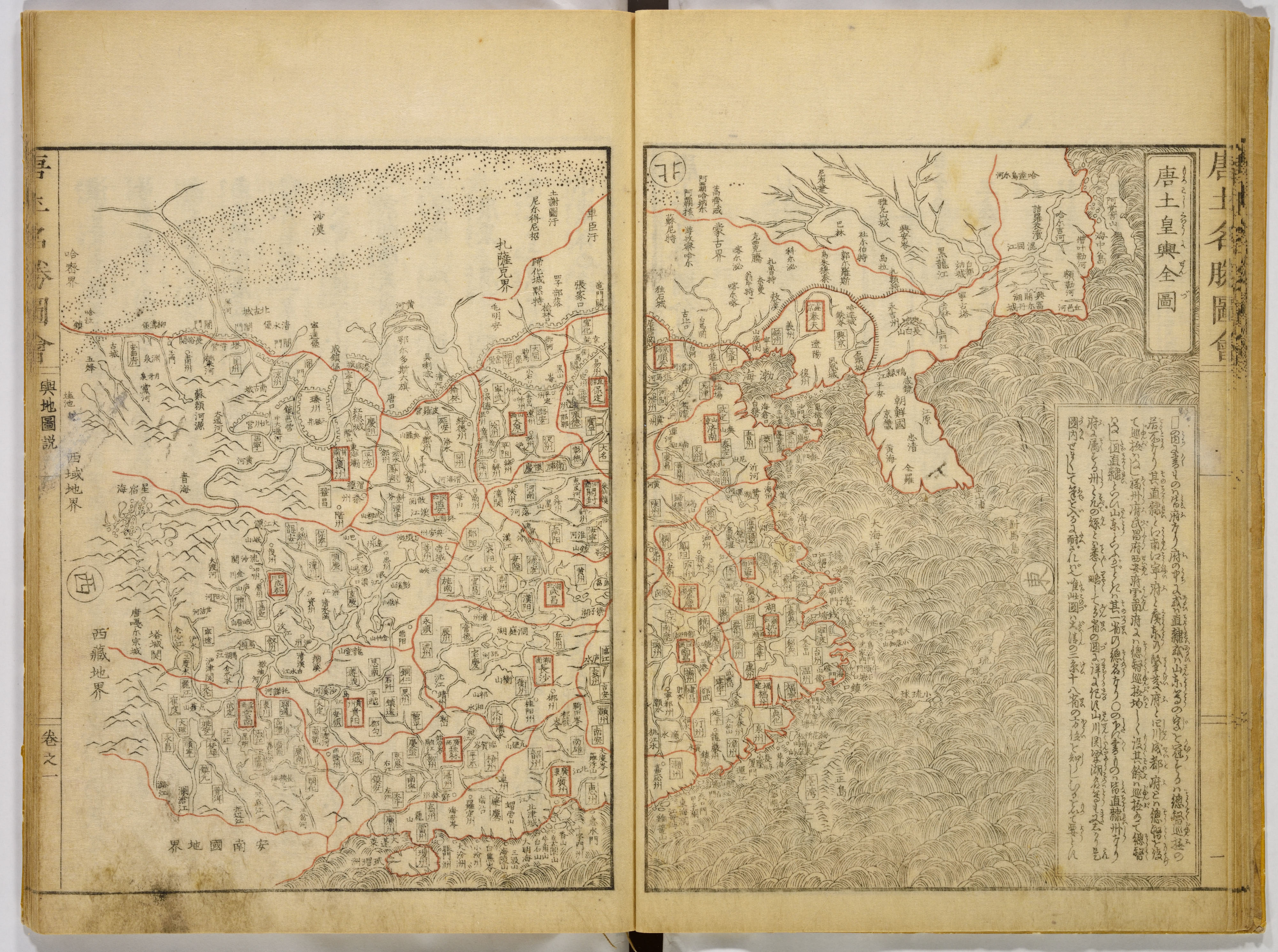
Yellowed pages from a book titled "Illustrations of Famous Places in China by Gyokuzan". The pages are side by side, with a dark area at the top center where the spine would be. Each page contains a map with a black outline, featuring red lines and black text. The map on the left page depicts a larger land area with more red lines and black text. The map on the right page shows a coastal area with a body of water and a smaller land area. A large block of black text is on the bottom right of the right page. The background behind the pages is white.
Artwork details
- Date:
- 1805
- Medium:
- Six volumes of Woodblock printed books; ink on paper
- Culture:
- Japan
- Dimensions:
- 600 × 447 px
- Museum record:
- View original
You May Also Like

Road Map of Central Europe

The Siege of La Rochelle: Plate 6

Egypt and Nubia, Volume III: Map to Illustrate the Sketches of David Roberts, Esq: R.A. in Egypt and Nubia 1849

The Siege of La Rochelle: Plate 5

The Gotha Missal: Fol. 63r, Text

The Gotha Missal: Fol. 62v, Text

Sampler

Embroidered Map Sampler

A mapp of ye improved part of Pensilvania in America, divided into countyes, townships and lotts

The Siege of La Rochelle: Plate 10

College Henri IV

Album of Daoist and Buddhist Themes: Procession of Daoist Deities: Leaf 3

Album with Views of Rome and Surroundings, Landscape Studies, page 20b: "Cervera"

Chart and Plan of the Harbour of New York

The Gotha Missal: Fol. 150r, Text

The Gotha Missal: Fol. 149v, Text

The Gotha Missal: Fol. 50r, Text

The Gotha Missal: Fol. 49v, Text

The Siege of La Rochelle: Plate 12

The Gotha Missal: Fol. 19r, Text

The Gotha Missal: Fol. 18v, Text

Map of the Battle of Sinope

The Gotha Missal: Fol. 70r, Text

The Gotha Missal: Fol. 69v, Text


