
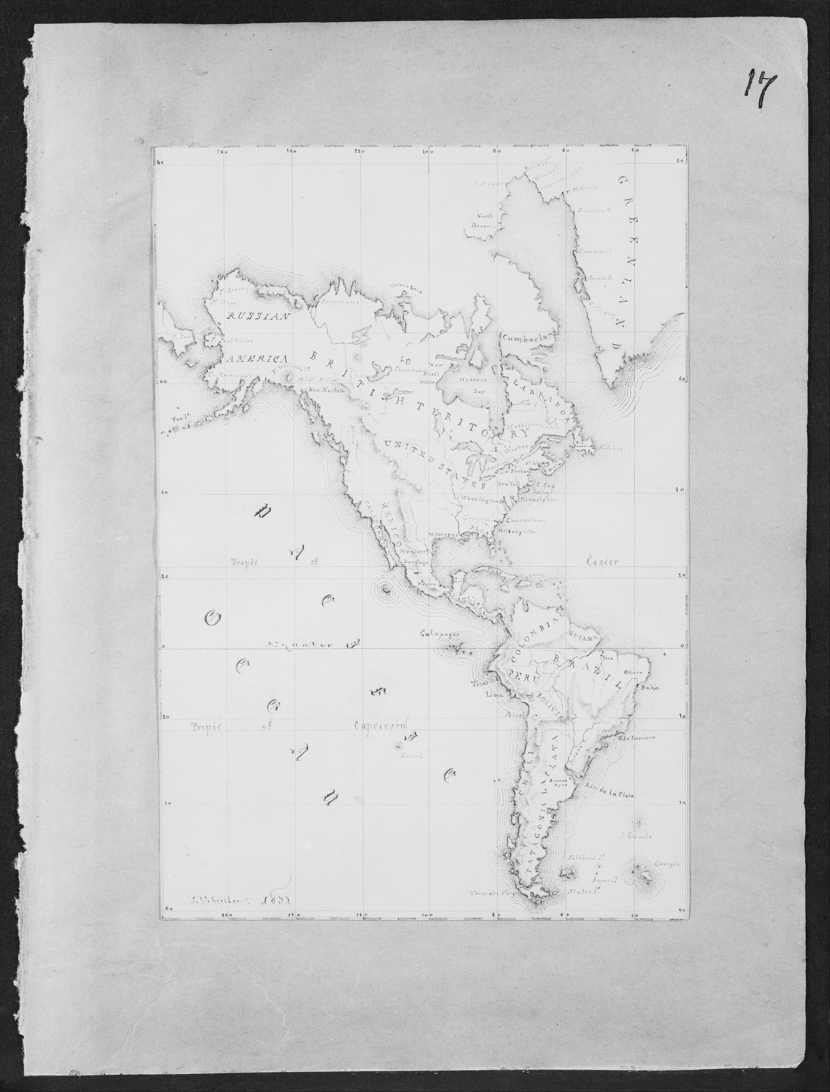
Map of the Western Hemisphere on paper with gray background. The map is drawn with lines on a grid. North America, Central America, and South America are depicted. Bodies of water are around and between the landmasses. The map has writing on it, including labels for some of the places drawn. The edges of the paper are rough. A number "17" is in the upper right corner of the paper.
Artwork details
- Date:
- 1851
- Medium:
- Black ink and watercolor on light buff paper
- Culture:
- American
- Dimensions:
- 474 × 624 px
- Museum record:
- View original
You May Also Like

Map of the Province of New York

Sampler

Egypt and Nubia, Volume III: Map to Illustrate the Sketches of David Roberts, Esq: R.A. in Egypt and Nubia 1849

Map of the Battle of Sinope

Chart and Plan of the Harbour of New York

Map of Region Northwest of Mount Tacoma (from Sketchbook)

The Siege of La Rochelle: Plate 6

Map of North America (Handkerchief)

A mapp of ye improved part of Pensilvania in America, divided into countyes, townships and lotts

College Henri IV

Sunset Cities in the Canyon

Album with Views of Rome and Surroundings, Landscape Studies, page 20b: "Cervera"

Album of Daoist and Buddhist Themes: Procession of Daoist Deities: Leaf 3

The Siege of La Rochelle: Plate 11

Illustrations of Famous Places in China

Road Map of Central Europe

The Siege of La Rochelle: Plate 7

View of Venice

The Siege of La Rochelle: Plate 5

Flag

The Statue, New York Bay

The Siege of La Rochelle

Album of Daoist and Buddhist Themes: Search the Mountain: Leaf 46

Plate 72 from The Plan of Chicago, 1909: Chicago. Sketch Diagram of Docks Suggested at the Mouth of the Calumet River for Bulk Freight Steamers; Access To Be Had Without Opening of Bridges.


