
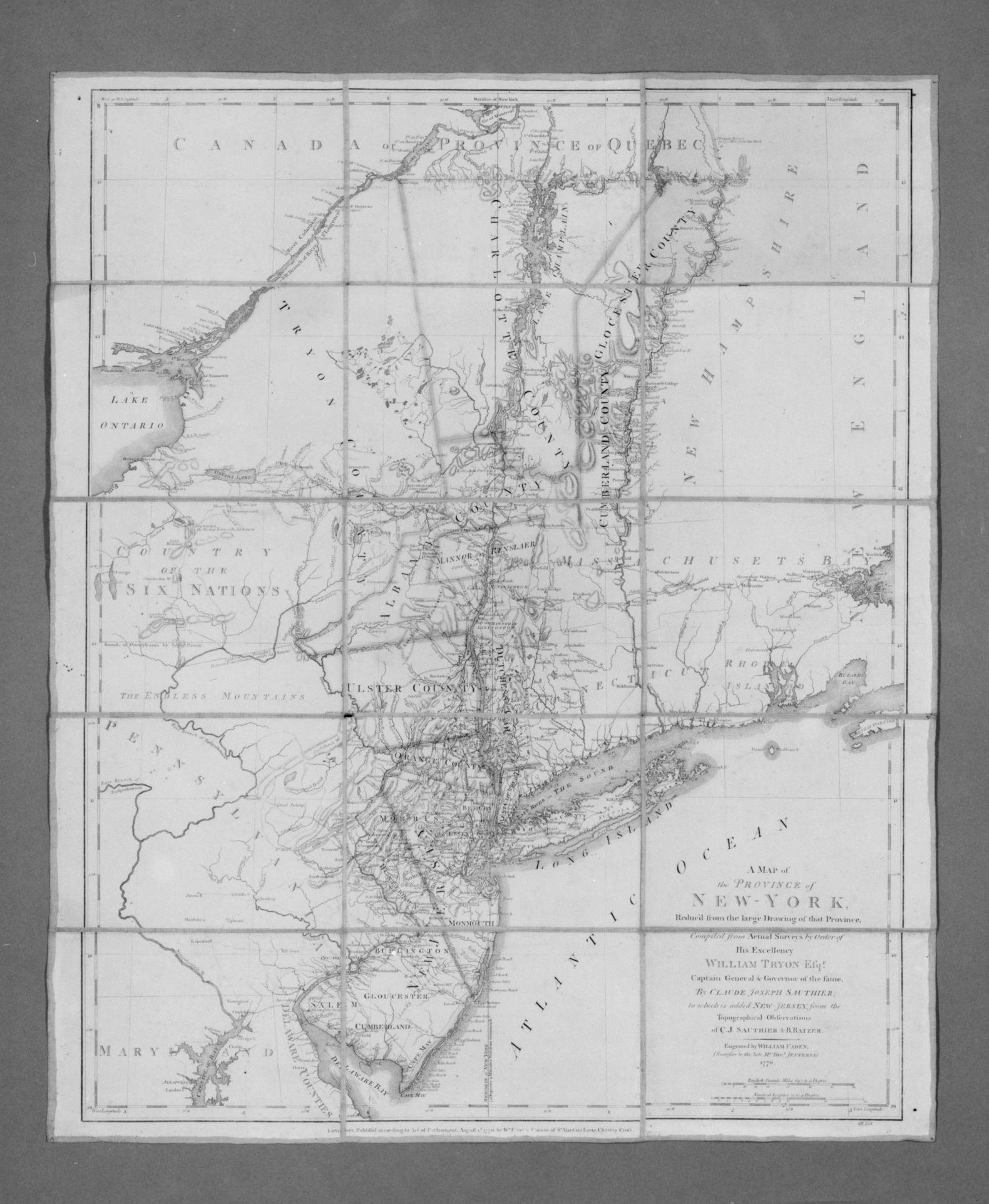
Black and white map on a gray background. The map is titled "Map of the Province of New York". The map depicts the province of New York. The map includes bodies of water. The map includes Canada and part of Quebec to the north, New England to the east, New Jersey and Pennsylvania to the south, and Maryland to the southwest. The map includes Lake Ontario to the northwest. The map includes the Atlantic Ocean to the southeast. The map includes many place names. The map includes a key or legend. The map is drawn by William Faden the Younger. The map appears to be old and possibly hand drawn. The map is made of several sections stuck together. The map appears to have folds in it.
Artwork details
- Date:
- 1776
- Medium:
- Ink on paper mounted on canvas
- Dimensions:
- 513 × 625 px
- Museum record:
- View original
You May Also Like

Map of the Western Hemisphere (from Sketchbook)

A mapp of ye improved part of Pensilvania in America, divided into countyes, townships and lotts

Egypt and Nubia, Volume III: Map to Illustrate the Sketches of David Roberts, Esq: R.A. in Egypt and Nubia 1849

Chart and Plan of the Harbour of New York

Embroidered Map Sampler

Map of North America (Handkerchief)

The Siege of La Rochelle: Plate 6

Nuova pianta di Roma data in luce da Giambattista Nolli l’anno MDCCXLVII, known as La Pianta Grande di Roma

Nuova pianta di Roma data in luce da Giambattista Nolli l’anno MDCCXLVII, known as La Pianta Grande di Roma

Illustrations of Famous Places in China

Nuova pianta di Roma data in luce da Giambattista Nolli l’anno MDCCXLVII, known as La Pianta Grande di Roma

Map of the Battle of Sinope

Plate 35 from Plan of Chicago 1909: Chicago, and Diagram of Lake Michigan. Proposed Roadway to connect all the towns along the shores of the Lake.

View of Venice

Map of Region Northwest of Mount Tacoma (from Sketchbook)

Nuova pianta di Roma data in luce da Giambattista Nolli l’anno MDCCXLVII, known as La Pianta Grande di Roma

Plate 72 from The Plan of Chicago, 1909: Chicago. Sketch Diagram of Docks Suggested at the Mouth of the Calumet River for Bulk Freight Steamers; Access To Be Had Without Opening of Bridges.

The Siege of La Rochelle: Plate 5

Sampler

The Siege of La Rochelle: Plate 11

Road Map of Central Europe

Nuova pianta di Roma data in luce da Giambattista Nolli l’anno MDCCXLVII, known as La Pianta Grande di Roma

The Siege of La Rochelle: Plate 12

Sampler